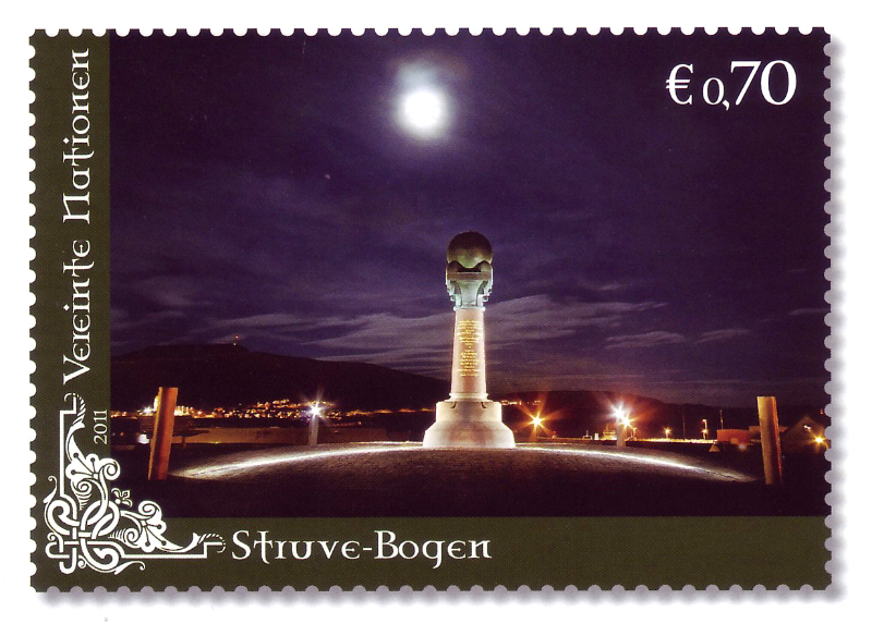
An international project initiated by German astronomer Friedrich Georg Willhelm von Struve in 1845, Struve's Geodetic Arc aimed to map the shape and size of the Earth by measuring the distance from Hammerfest in Norway to the Black Sea. A large number of triangulation points were placed along a nearly 3,000 kilometer segment through Norway, Sweden, and Russia.
In Norway, Struve's geodetic points are located in four places: Meridianstøtten at Fuglenes in Hammerfest, the peaks of the Lille-Raipas/Unna Ráipásaš mountains in Alta, Luvddiidčohkka (Lodiken) in Kautokeino, and Bealjášvárri/Muvravárri in Kautokeino. The former is a unique and very popular attraction as well as the northernmost of these measuring points.
The project lasted almost 40 years and was the first international collaboration in which Norway participated as a nation. The Norwegian measuring points were added to the World Heritage List in 2005, along with 32 in other countries.