
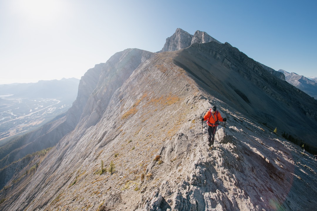

The wind descends from the rocky crests and carries with it the scent of fir and damp stone. On the Kananaskis Trail, in the namesake region of Canadian Alberta, the trails open up to landscapes that many travelers will never see, simply because they prefer to stop in Banff, less than an hour's drive away. Yet it is precisely this lack of mass attention that makes Kananaskis one of the most authentic alpine routes in the Canadian Rocky Mountains.
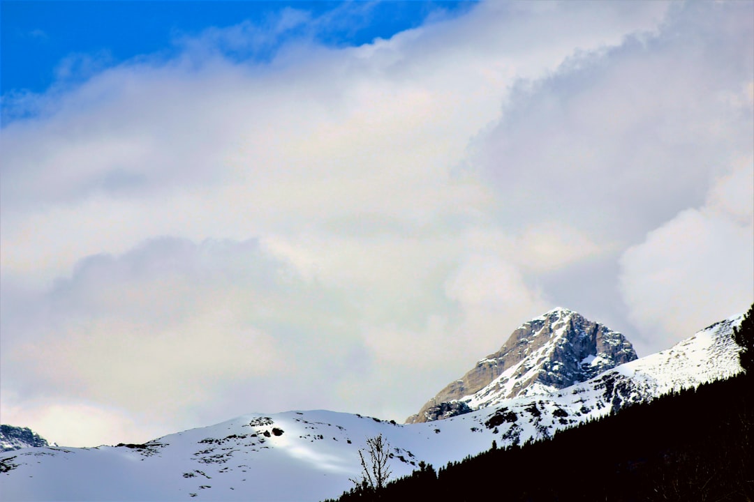
The Kananaskis Country spans over 4,000 square kilometers of protected provincial land, established as a recreational area in 1977 by the province of Alberta. Unlike national parks like Banff or Jasper, access to many areas of Kananaskis does not require the payment of a national pass, although since 2021 some areas require a Kananaskis Conservation Pass costing about 90 Canadian dollars annually per vehicle. This practical detail is often overlooked by visitors who arrive unprepared at the trailhead parking lots.
The path: what you encounter along the trail

The main trails of the Kananaskis Trail follow Highway 40, also known as Kananaskis Trail Road, which winds for about 100 kilometers through valleys, alpine meadows, and forested areas dominated by Engelmann spruce and lodgepole pine. Walking on the paths that branch off from this artery, you encounter wide subalpine meadows where the grass in summer takes on shades ranging from deep green to gold, depending on the altitude and sun exposure.
One of the most photographed sections is the one leading to Rawson Lake, a glacial lake accessible by about 7.4 kilometers of round-trip walking from the Upper Kananaskis Lake parking lot. The water takes on that characteristic turquoise color of Canadian alpine lakes, due to the presence of fine glacial sediments known as glacial flour. The elevation gain is not extreme, but the terrain can be slippery during the rainy season.

The wildlife: encounters that require preparation
Kananaskis is one of the richest wildlife environments accessible to hikers in Alberta. Sightings of grizzly bears are regularly documented, particularly in open areas and along the edges of forests during the summer months, when bears feed on berries and roots before hibernation. Elk are consistently present and often visible during twilight hours, while white-tailed deer appear in the lower areas of the valley.
Provincial authorities recommend hiking in groups, making noise to avoid surprising animals, and always carrying bear spray. This is not a theoretical precaution: signs at the trailheads regularly update visitors on recent sightings in the area. Those who arrive without proper equipment risk finding themselves in difficult situations to manage.
When to go and how to organize

The ideal period to hike the alpine trails of Kananaskis is from mid-June to September. Before June, many high-altitude trails are still covered in snow and parking lots may be closed. Highway 40, in the section south of Highwood Junction, is closed to vehicles from December 1 to June 15 each year to protect wildlife during the winter: this is a fact that many visitors discover only upon arrival.
The most convenient starting point is the city of Calgary, located about 90 kilometers to the east. There is no regular public transportation service to the trail areas, so having a car is essential. Parking at the main trailheads fills up quickly on summer weekends: arriving by 8 in the morning is often the only way to find a spot without having to walk several extra kilometers on the paved road.
What to bring and what to expect
The trails of Kananaskis are not equipped with tourist facilities along the way. There are no bars, shelters with restaurant service, or frequent rescue points. Campsites exist and are well organized, such as the one at Elbow Lake or Pocaterra, but they require advance booking through the Alberta provincial system. Bringing enough water, food, waterproof clothing, and a first aid kit is not an optional suggestion but a concrete necessity.
The landscape rewards every logistical effort. On clear days, the peaks of the Kananaskis Range stand out with a sharpness that photographs struggle to capture. The feeling of walking in an area where nature has not been tamed for mass tourism is, in these mountains, still intact.


