

The trail starts from Ölüdeniz with the scent of pine mingling with the salty air of the Mediterranean. Underfoot, the ochre-colored dirt gives way to slabs of limestone, then back to dirt, while the blue lagoon of Ölüdeniz — one of the most photographed in Turkey — remains visible for the first few kilometers as an impossible-to-ignore chromatic landmark. The Lycian Way, or Likya Yolu in Turkish, is a long-distance hiking trail that stretches for about 540 kilometers along the southwestern coast of Turkey, between the provinces of Muğla and Antalya.
The trail was officially mapped and marked in the late 1990s thanks to the work of Kate Clow, a British hiker who dedicated years to mapping the ancient routes of the Lycia region, later publishing a guide that became the main reference for those tackling this trail. Lycia was a flourishing Anatolian civilization between the 6th and 4th centuries BC, and along the route, the remnants of this culture are literally scattered on the ground: rock-cut tombs carved into the stone, sarcophagi abandoned at the edges of the paths, remains of cities like Patara, Xanthos, and Letoon, the latter two recognized as UNESCO World Heritage Sites.
The route: what you encounter while walking
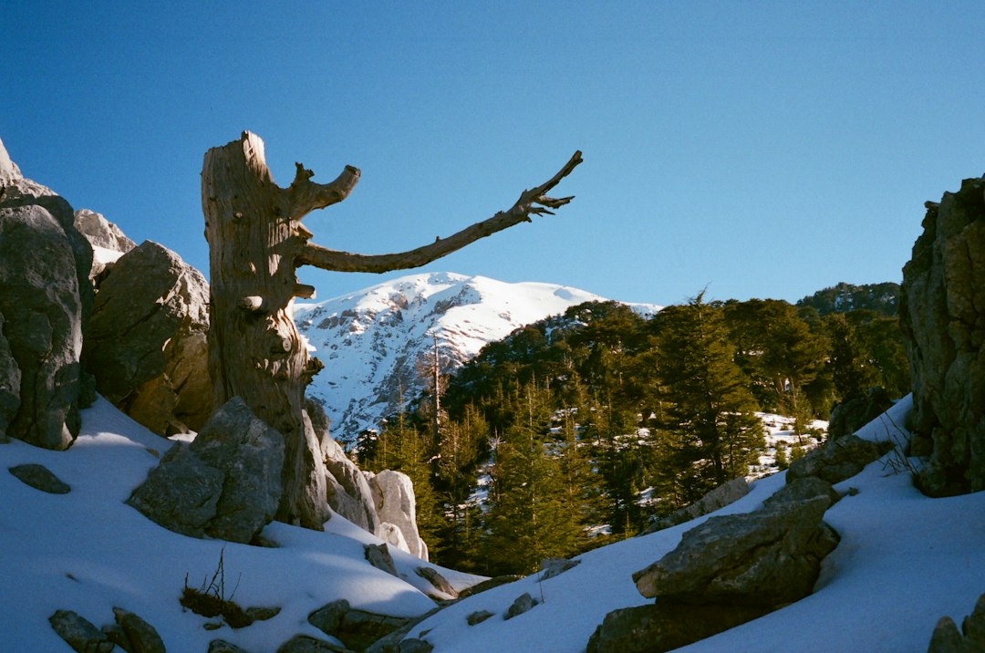
The complete path connects Ölüdeniz to Antalya, passing through coastal villages, wooded plateaus, and cliffs overlooking the sea. It is not a linear and flat trail: the elevation changes are significant, with sections rising over 1,800 meters above sea level in the inland areas near Mount Tahtalı. Those who walk will encounter intact Roman cisterns, mosaics displayed outdoors, and in some places, remnants of cobbled roads dating back to the Lycian and then Roman periods.
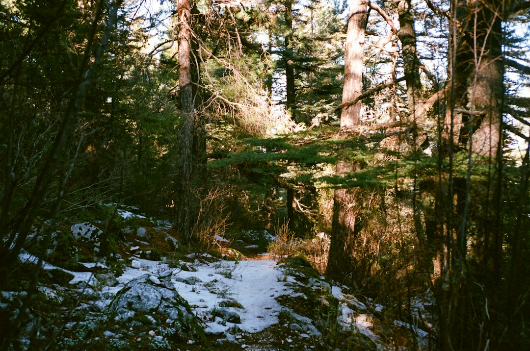
Along the route, you pass through villages like Kabak, accessible only by foot or jeep, where small local pansiyons offer beds and home-cooked meals. The vegetation changes with altitude: low Mediterranean scrub and wild olive trees along the coast, then dense pine forests and oaks in the higher areas. In spring, between March and May, the trail is dotted with wild orchids and asphodels.
The most scenic sections
The route between Butterfly Valley (Kelebekler Vadisi) and Kabak is considered one of the most spectacular: you walk along ridges that drop vertically into the sea, with views of the Greek islands on the horizon on clear days. Butterfly Valley gets its name from the seasonal presence of the Jersey Tiger (Euplagia quadripunctaria) butterfly, which populates the gorge during the summer months.
Another very popular section is the one that passes through Kayaköy, the ghost village abandoned in the 1920s following the population exchange between Greece and Turkey. The roofless stone houses climb the hill for hundreds of meters, creating a surreal landscape that the path directly traverses. Entrance to the Kayaköy area requires a small entrance fee of a few euros.
When to go and how to organize
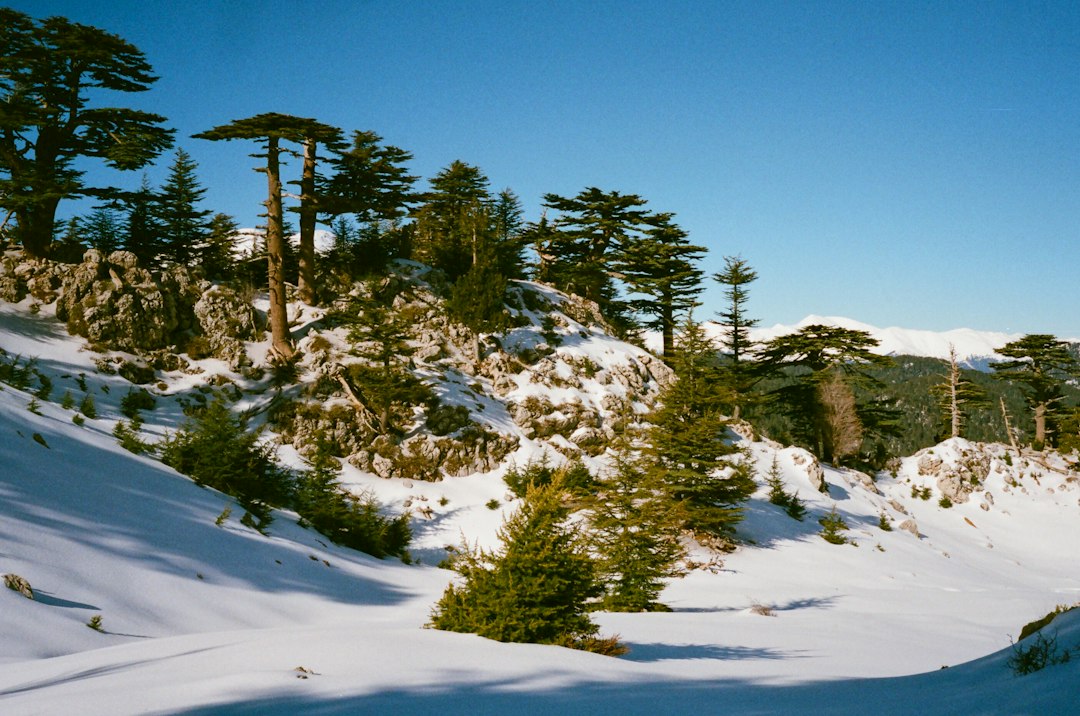
The best time to walk the Lycian Way is April-May or October-November. In summer, temperatures on the coast can exceed 40°C, making exposed sections dangerous and physically exhausting. In winter, some high-altitude sections may be snow-covered. Spring offers temperatures between 18 and 25°C, lush vegetation, and active water springs along the route.
It is not necessary to walk the entire trail: many hikers choose sections of 3-7 days starting from Ölüdeniz or Kaş. Local public transport — dolmuş and minibuses — allows access to many points of the trail without a private car. It is advisable to carry enough water for at least 3-4 hours of walking, as fountains in the villages are not always guaranteed during the dry months.
Practical tips for those who are leaving
The signage of the Lycian Way consists of white and red paint stripes on rocks and tree trunks, similar to the French GR system. In some places, the signage is discontinuous, so having a paper map or the offline reference app is essential. The official guide by Kate Clow, periodically updated, remains the most reliable tool for detailed planning of the stages.
For those who want to limit themselves to a taste of the route starting from Ölüdeniz, the walk to the promontory of Babadağ — the mountain from which the paragliders visible from the lagoon take off — offers half a day of trekking with exceptional views without requiring specialized equipment. Sturdy-soled hiking shoes are still essential on any stretch of the trail.


