
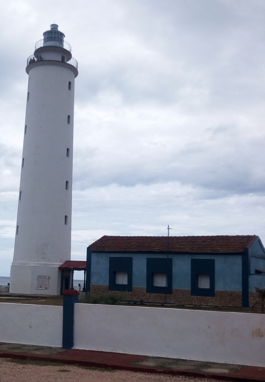

The road ends here, among cacti as tall as a man and limestone rocks that the midday sun transforms into blinding mirrors. The Faro de Maisí stands at the easternmost point of Cuba, at the precise point where the Atlantic Ocean and the Caribbean Sea meet and blend into a horizon that seems to belong to neither of the two waters. There is no bar, there is no tourist sign, there is almost nothing — just the lighthouse, the wind, and that rare feeling of having truly arrived at the end of something.
Reaching Punta de Maisí requires effort. From Baracoa, the nearest town, one travels dozens of kilometers on a bumpy coastal road, partly unpaved, that crosses xerophytic vegetation dominated by columnar cacti and thorny shrubs. It is not a route for those approaching Cuba with a hurried itinerary: it is a detour that one consciously chooses, knowing that the destination does not offer comforts but offers something harder to find.
The history of the lighthouse: construction and function
The Faro de Maisí was built during the Spanish colonial period and inaugurated in 1862, making it one of the historic lighthouses of the island. The white masonry structure rises about 55 meters above sea level, including both the height of the tower and the elevated position of the promontory on which it stands. Its function was — and has remained — to signal to navigators the most dangerous and eastern point of the Cuban coast, where the currents of the two seas create unpredictable navigation conditions.
The tower has the classic cylindrical shape of Caribbean colonial lighthouses, with a lantern at the top that has undergone technical updates over the decades while maintaining the original architectural design. The outer walls show signs of constant exposure to salt wind: the white lime peels in places, revealing layers of overlapping history. The lighthouse is still operational and managed by the Cuban maritime authority.
The surrounding landscape: a unique ecosystem
The Maisí peninsula hosts one of the driest ecosystems in Cuba, in stark contrast to the lush tropical vegetation that characterizes much of the island. The xeroic zone surrounding the lighthouse is populated by cacti of typical eastern Caribbean species, wild agaves, and low shrubs that the wind has bent into sculptural shapes. Walking among these plants along the path leading to the lighthouse is already a visually distinct experience from anywhere else in Cuba.
From the promontory on which the lighthouse stands, on clear days, the gaze spans a marine panorama of rare intensity. The chromatic contrast between the deep blue of the Atlantic to the north and the lighter shades of the Caribbean Sea to the south is visible to the naked eye, although the exact dividing line varies with weather conditions and light. It is one of those geographical details that seem abstract in books and suddenly become real before your eyes.
How to get there and what to expect
The most common way to reach the lighthouse is to start from Baracoa, which has accommodation facilities and an airport with connections to Havana. From Baracoa, you travel along the southern coast to the east: part of the route is paved, but the last few kilometers require a vehicle with good ground clearance. Cuban private taxis — the so-called particulares — are often the most flexible option, and it is worth agreeing on the wait on-site with the driver, as there is no public transport in the area.
There is no formal entrance ticket to access the outer area of the lighthouse, but the inside of the tower is generally not open to visitors. The typical visit time is around one or two hours, enough to explore the promontory, observe the landscape, and photograph the structure. The best time to visit is early in the morning: the light is softer, the heat is still bearable, and the likelihood of having the place to yourself is high, as the flow of visitors is still very limited.
Why the trip is worth it
The Maisí Lighthouse is not visited for convenience or to check off an attraction from a list. It is visited because certain places gain meaning precisely from the difficulty of reaching them. The bumpy road, the heat, the lack of tourist infrastructure: everything contributes to creating an experience that still belongs to those who are willing to seek it. Arriving here means having crossed almost all of Cuba from west to east, having seen the landscape change, and then stopping in front of a white tower that has been watching the sea for over 160 years without the sea changing.
For those traveling in Cuba with the curiosity to find something outside the most beaten paths, the tip of Maisí offers a concrete answer: a physically identifiable place, historically founded and visually memorable, where the island ends and the open world of the ocean begins.


