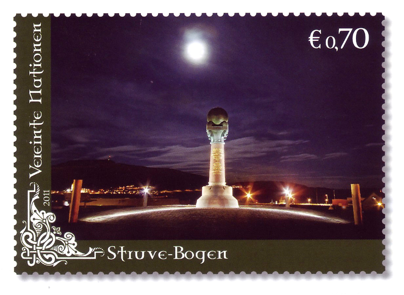
Mezinárodní projekt iniciovaný německým astronomem Friedrichem Georgem Georillhelmem von Struve v roce 1845 měl Struve geodetický Oblouk zmapovat tvar a velikost Země měřením vzdálenosti od Hammerfestu v Norsku k Černému moři. Velké množství triangulačních bodů bylo umístěno podél segmentu téměř 3 000 kilometrů napříč Norskem, Švédskem a Ruskem.
V Norsku se geodetické body nacházejí na čtyřech místech: Meridianstøtten na Fuglenes v Hammerfestu, vrcholy hor Lille-Raipas / Unna Ráipásaš High, Luvddiidčohkka (Lodiken) v Kautokeinu a Bealjášvárri/Muvravárri na Kautokeino. První je jedinečná a velmi oblíbená atrakce, stejně jako nejsevernější z těchto měřicích bodů.
Projekt trval téměř 40 let a byl první mezinárodní spoluprací, na které se Norsko zúčastnilo jako národ. Norské Měřicí body byly přidány do Seznamu světového dědictví v roce 2005 spolu s 32 v jiných zemích.
Buy Unique Travel Experiences
Fill tour Life with Experiences, not things. Have Stories to tell not stuff to show
Use your credentials below and Log in to your account
OR
Log in with :
Sigh Up
Use your credentials below and Sign Up to your account
OR
Sign up with :
Password recovery
Enter your e-mail address that you used for registration
TRAVEL WORLD NEWS
Sell your First Travel Articles with Secret World.
Be the first to write an article about this place in a few clicks.
Content shared
Thanks for sharing your experiences on Secret World. we appreciate your
contribution to offer the best travel insights in the world..
NEVER STOP
DISCOVERING
THE LARGEST DIGITAL TRAVEL GUIDE
In compliance with the European General Regulation 679/16 (GDPR),
we inform you that this site uses technical as well as non-technical cookies,
including from third parties, to offer a better experience and to take into account your navigation choices,
through profiling. By clicking OK, continuing to browse or interacting with the contents of the portal,
you consent to the processing of your data through these cookies. The information is available by clicking here.