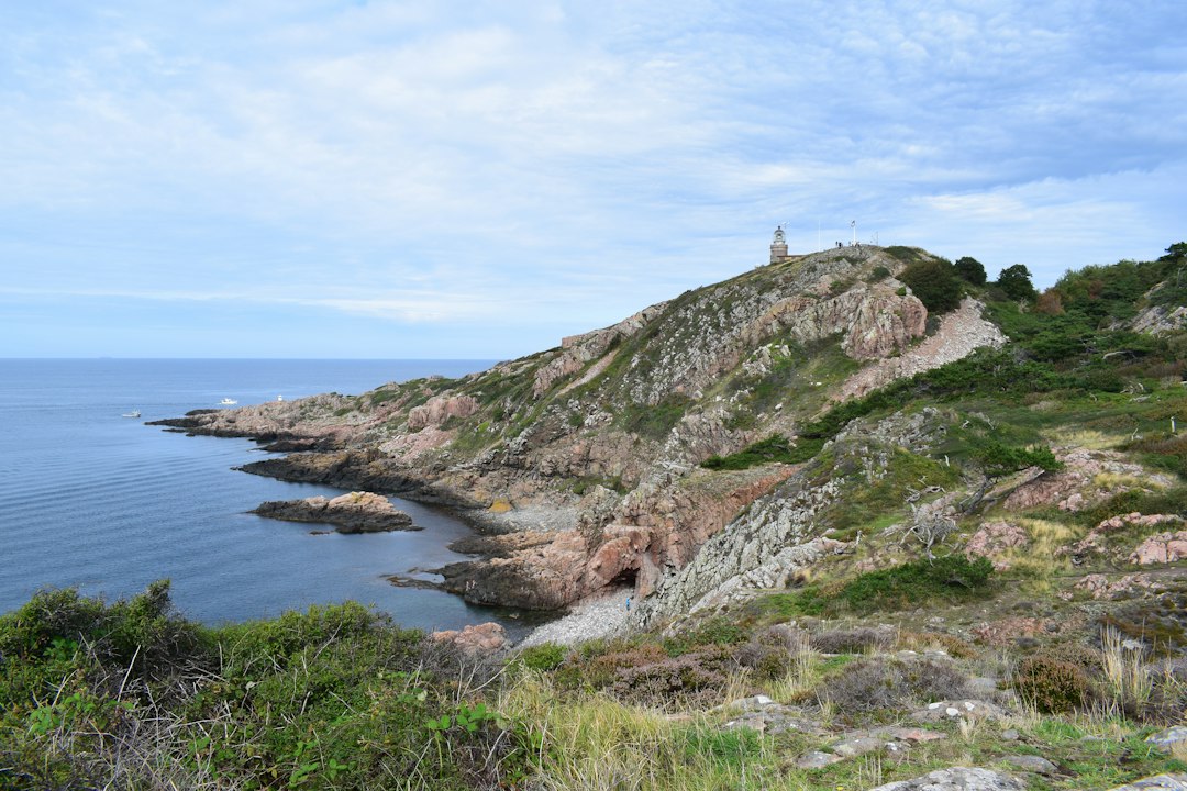

The jagged profile of Cap Dramont stands out over the Mediterranean like a prow of volcanic rock, and already from the first meters of the coastal path, it is clear why the Marseillais and the residents of the French Riviera return here every season. The Esterel massif, composed mainly of red rhyolite, a volcanic rock formed about 250 million years ago, colors the landscape in shades ranging from brick to bright coral, a chromatic contrast with the deep blue of the sea that is hard to forget.
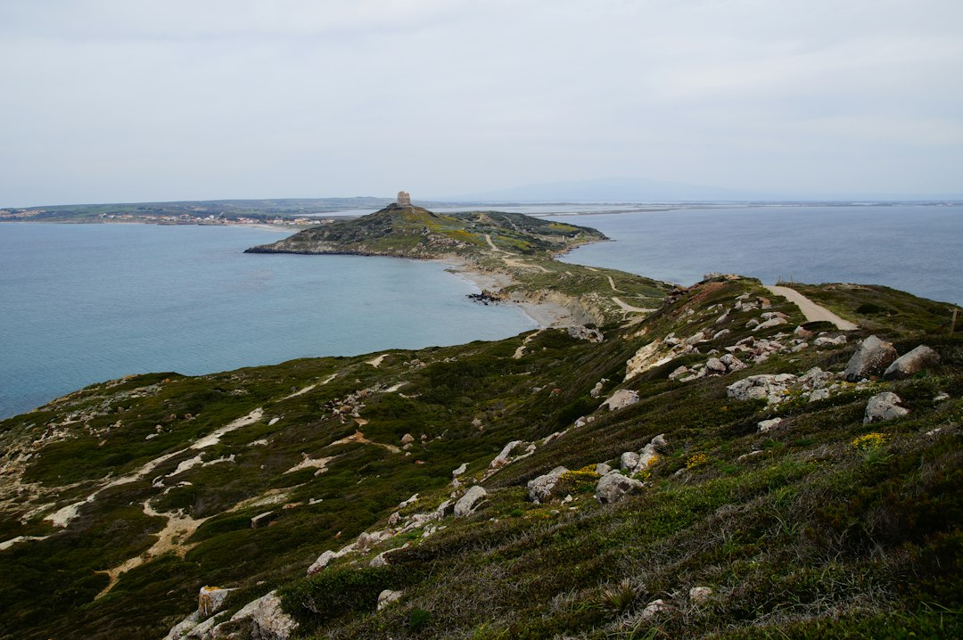
The Sentier littoral of Cap Dramont is located in the municipality of Saint-Raphaël, in the Var department, and is accessible for free all year round. It is not a destination that appears in the most popular international guides, yet the local residents know it well: it is one of the most picturesque stretches of coastline between Saint-Raphaël and Agay, a corner of the maritime Esterel that is easily reached but still retains a wild character.
The landscape: red, blue, and everything in between
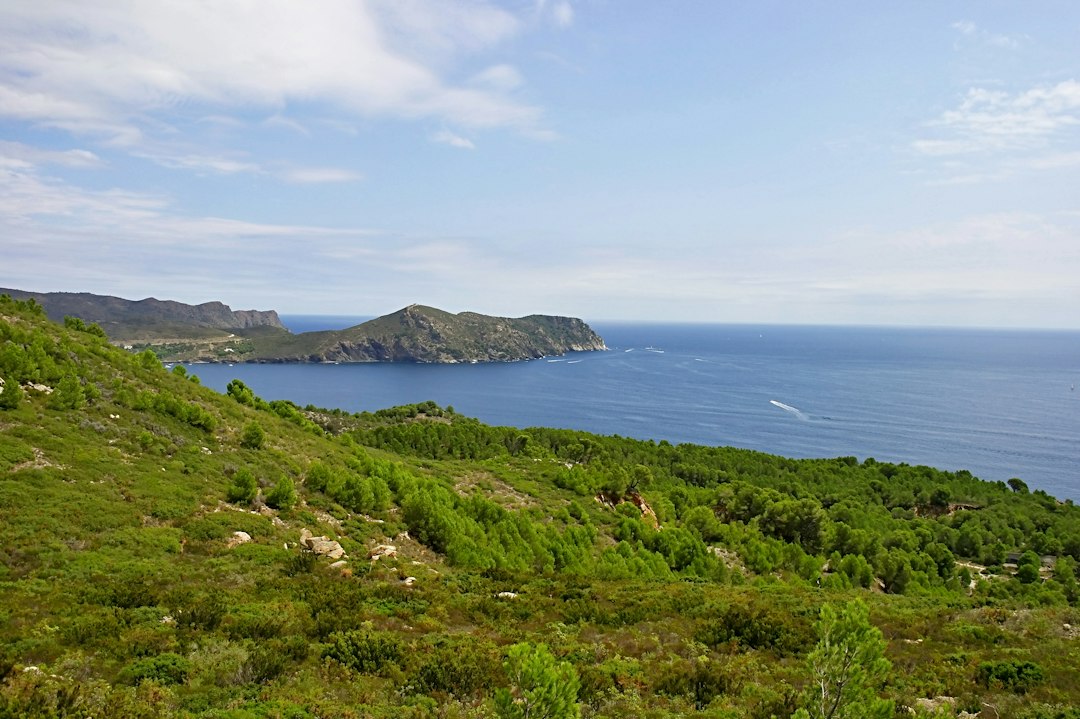
Walking along the path towards the tip of the promontory, the view gradually opens up to a three-hundred-sixty-degree panorama. To the northwest, the orange crests of the Esterel massif can be recognized, with Mont Vinaigre, the highest point of the massif at 618 meters above sea level, standing out as a dominant visual reference. To the east, on clear days, the silhouette of the coastline can be discerned all the way to the Maritime Alps.
The chromatic peculiarity of this place depends very directly on the time of day. Early in the morning, when the light is still slanting, the rhyolite rocks seem almost to be on fire, with reflections ranging from burgundy red to antique pink. In the afternoon, especially in summer, the high sun flattens the contrasts, but the sea takes on an almost Caribbean transparency in the more sheltered coves at the foot of the promontory. The golden hour before sunset is the moment when the colors become more saturated: the red of the Esterel intensifies and the Mediterranean shifts to a deep cobalt blue.
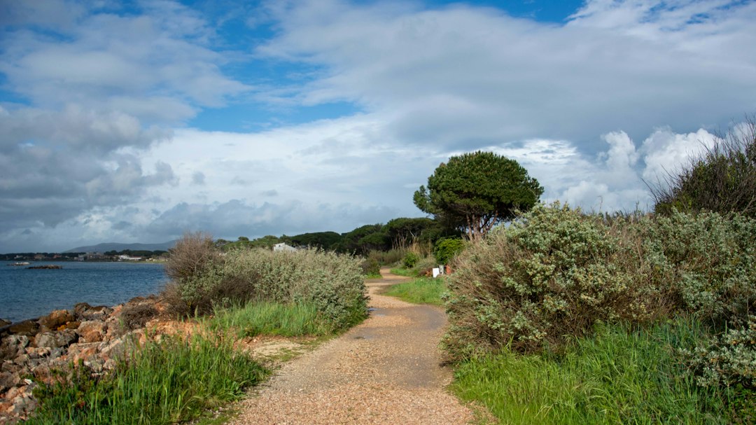
What can be seen physically along the path
A short distance from the beginning of the trail, those walking towards the tip of the cape encounter the medieval tower of Cap Dramont, a watchtower built to signal sea incursions, now visible in its essential stone structure. It is one of the few man-made elements that punctuate the path, the rest being rock, Mediterranean scrub, and sea.
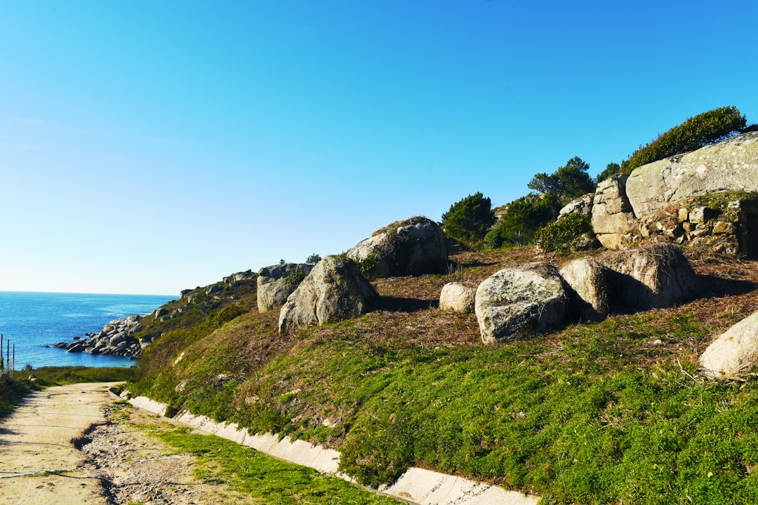
Looking out to sea, one can clearly see the Île d'Or, a small rocky islet with a cylindrical medieval tower rising directly from the rock. This islet, located a few hundred meters from the shore, has entered French popular culture because Hergé, the Belgian cartoonist who created Tintin, was inspired by this tower for the castle of Count Hadoque in the album The Treasure of Rackham the Red, published in 1944. It is a verifiable and concrete detail that many visitors appreciate knowing while observing the islet from the trail.
How to get there and when to go
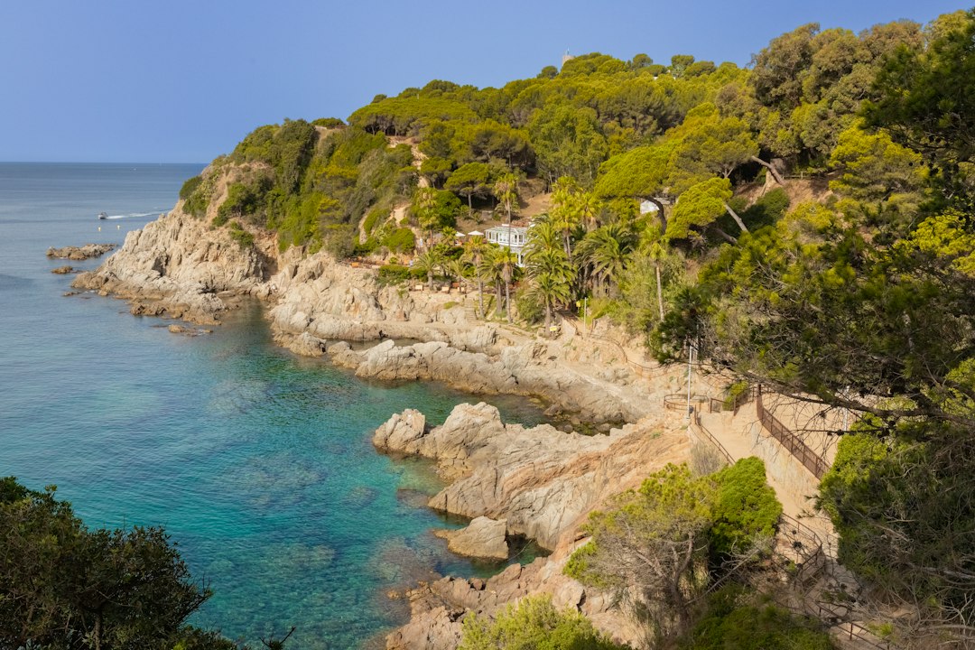
The main access point to the trail is located in the district of Le Dramont, reachable by car from Saint-Raphaël by following the coastal road N98 towards Agay. There are parking areas near the Débarquement beach, named so because on August 15, 1944, American troops landed here as part of Operation Dragoon, the Allied landing in Provence. A commemorative plaque is visible in the area.
The complete route around the promontory typically takes one and a half to two hours of leisurely walking, with moderate elevation changes but with some rocky sections that require suitable shoes. The most useful practical advice is to arrive in the early hours of the morning during the summer months, when the light is better for photography and the heat is not yet intense. In July and August, parking fills up quickly. In spring and autumn, the trail is practically deserted and the colors of the Mediterranean scrub — with wild lavender and flowering cistus — add an additional layer of color to the already rich landscape.
Why the deviation from the most famous French Riviera is worth it
Saint-Raphaël is neither Nice nor Cannes, and Cap Dramont is not Cap Ferrat. It is precisely this absence of heavy tourist infrastructure that makes the trail interesting: there are no tickets to buy, no queues, no guardrails that interrupt the view. The coast is rugged, the vegetation is low and fragrant, and the contrast between the geological red of the Esterel and the blue of the sea remains one of the most photogenic along the entire Provençal coast.
Those who walk this stretch of coastline also understand something deeper about the geology of the region: the Esterel massif is one of the oldest volcanic formations in southern France, and walking on its rocks literally means moving over material erupted hundreds of millions of years ago. This is not rhetoric: it is what you feel under your feet, that rough and colorful rock that descends directly into the sea.