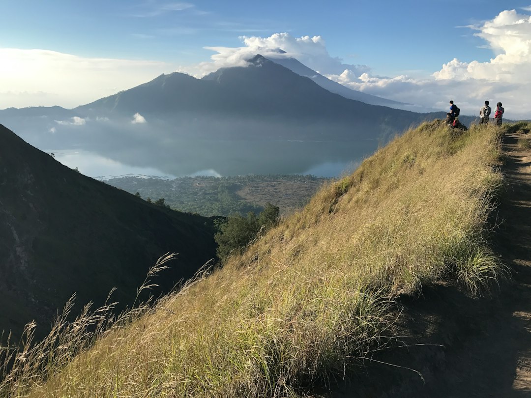

At 4 in the morning, when most tourists in Bali are still asleep, hundreds of hikers begin the ascent to the summit of Mount Batur. The motivation is simple: to reach the top before the sun rises on the horizon, transforming the sky into a palette of orange, pink, and purple that reflects on Lake Batur, the large caldera lake that occupies the bottom of the volcanic depression at about 1,050 meters above sea level.
Mount Batur is located in the Kintamani district, inland from Bali, and reaches an altitude of 1,717 meters. It is an active stratovolcano — the last significant eruption was in 2000 — and is part of a double caldera formed in distinct geological eras. This geological detail is physically noticeable on site: walking along the edge of the crater, one can see how the ground is composed of layers of solidified lava in different colors, from black to gray to rusty red, evidence of successive eruptions over the centuries.
The dawn landscape: colors and volcanic geometries
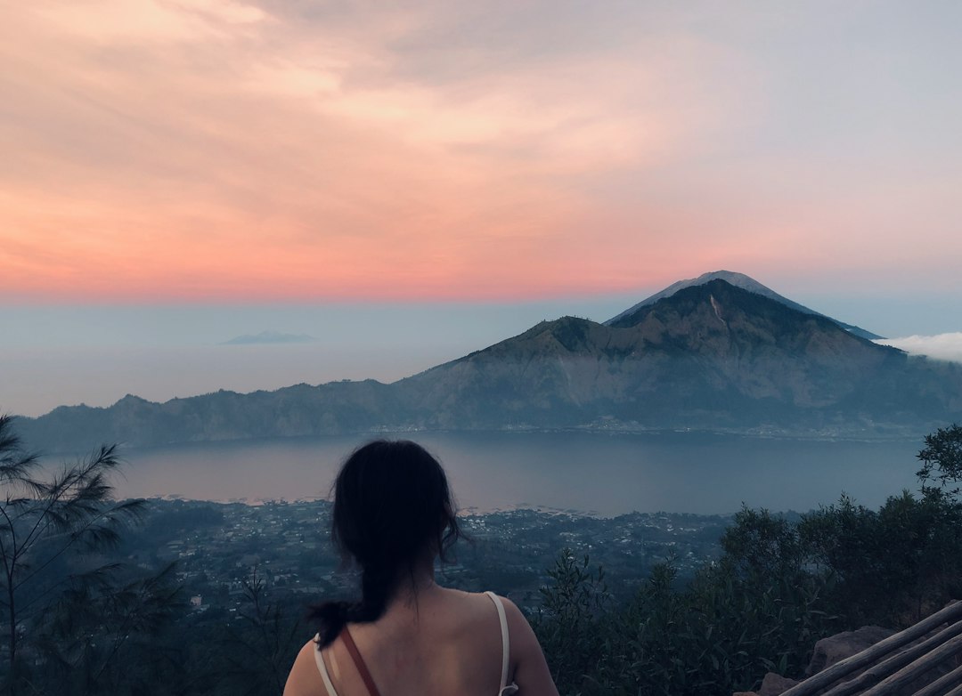
The most awaited moment is the one that precedes the actual dawn. When the sky in the east begins to lighten, the silhouette of Mount Agung — the sacred volcano of Bali that rises over 3,031 meters — emerges as a dark shape against the sky that turns pale yellow. Shortly after, the rays of the sun reach the surface of Lake Batur and illuminate it with golden reflections, while the low clouds that often linger in the caldera take on shades of pink and intense orange.
From the viewpoint at the summit, the gaze embraces a landscape of rare visual coherence: in the foreground, the most recent crater with its barren and smoking terrain in some areas, then the blue-green caldera lake, and in the background, the terraced hills of Kintamani. On clear days, to the west, the profile of Mount Batukaru can also be distinguished. The combination of these elements — volcano, lake, vegetation, and slanting light — produces a scene that changes appearance every ten minutes during the hour following dawn.
During the day: how light changes
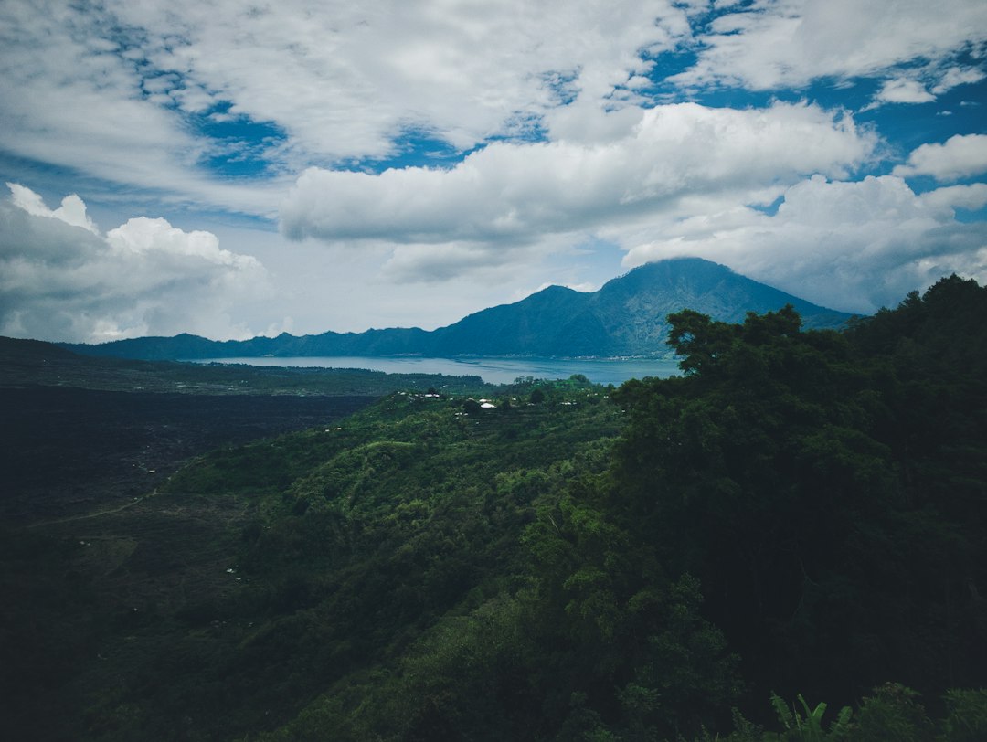
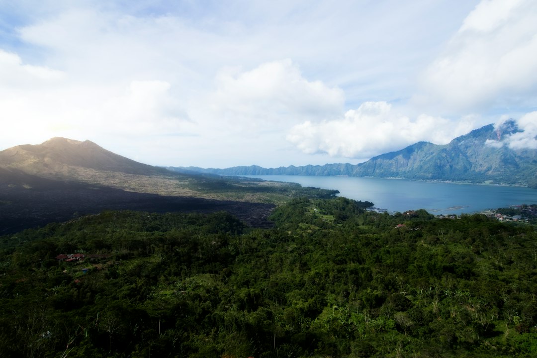
Those who reach the viewpoint in the central hours of the morning find a completely different landscape. Direct light flattens contrasts and tends to wash out the colors of the lake, which changes from deep blue to almost gray-green. The clouds, frequent in the Balinese inland, can quickly cover the caldera, reducing visibility. However, even in these conditions, the panorama retains its grandeur: the inner walls of the caldera, rising in some places over 200 meters, remain visible and show the layered structure of the volcano.
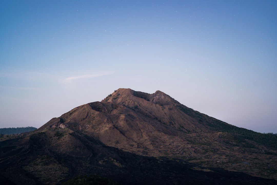
In the late afternoon, before sunset, the light becomes interesting again: the low rays create long shadows on the walls of the caldera and the lake regains deeper colors. However, most hikers descend by noon, making the afternoon hours quieter for those who prefer to avoid the dawn crowd.
Trekking: route and what to expect
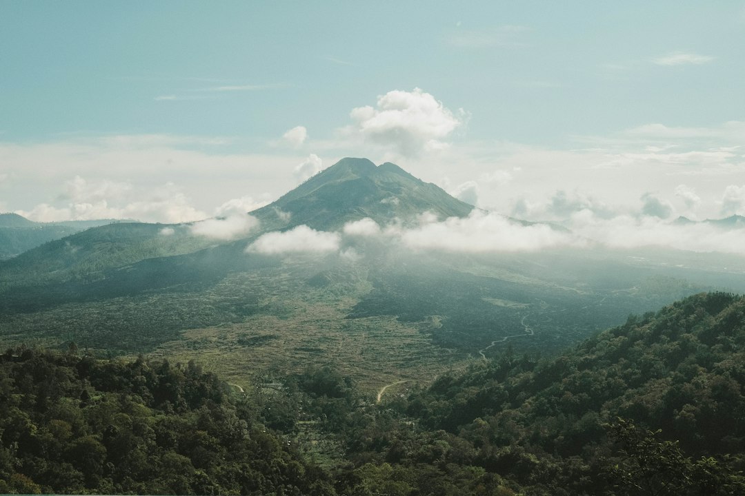
The most common starting point for the ascent is the village of Toya Bungkah, on the shores of Lake Batur. From here, the main trail takes about 2 hours of walking to reach the summit, with an elevation gain of about 700 meters on volcanic terrain. The route does not require technical equipment, but the slope is steep in the final part and the sandy-lava ground can be slippery. It is mandatory for foreign tourists to ascend with a registered local guide: this rule is enforced by local guide groups and the typical cost of a guide for the sunrise trek is around 300,000-400,000 Indonesian rupiah per person.
The trail at night is traversed with a headlamp. At the top, while waiting for the sunrise, the temperature can drop significantly compared to the coast: bringing a warm layer is recommended even in the peak dry season.
Practical tips for organizing the visit
The ideal departure time is between 3:30 and 4:00 in the morning from Toya Bungkah, to reach the summit about 30 minutes before sunrise, which in Bali generally occurs between 6:00 and 6:30 depending on the time of year. Many tourists book the trek through their accommodation in Ubud or Kintamani, which is about 30-40 minutes by car from the starting point.
The dry season, from April to October, offers the best chances of a clear sky at dawn. During the rainy season, from November to March, clouds can completely cover the caldera even at dawn, making the view partially invisible. Checking the local weather forecast the night before is a simple but effective precaution to avoid facing a wall of fog after two hours of climbing.