
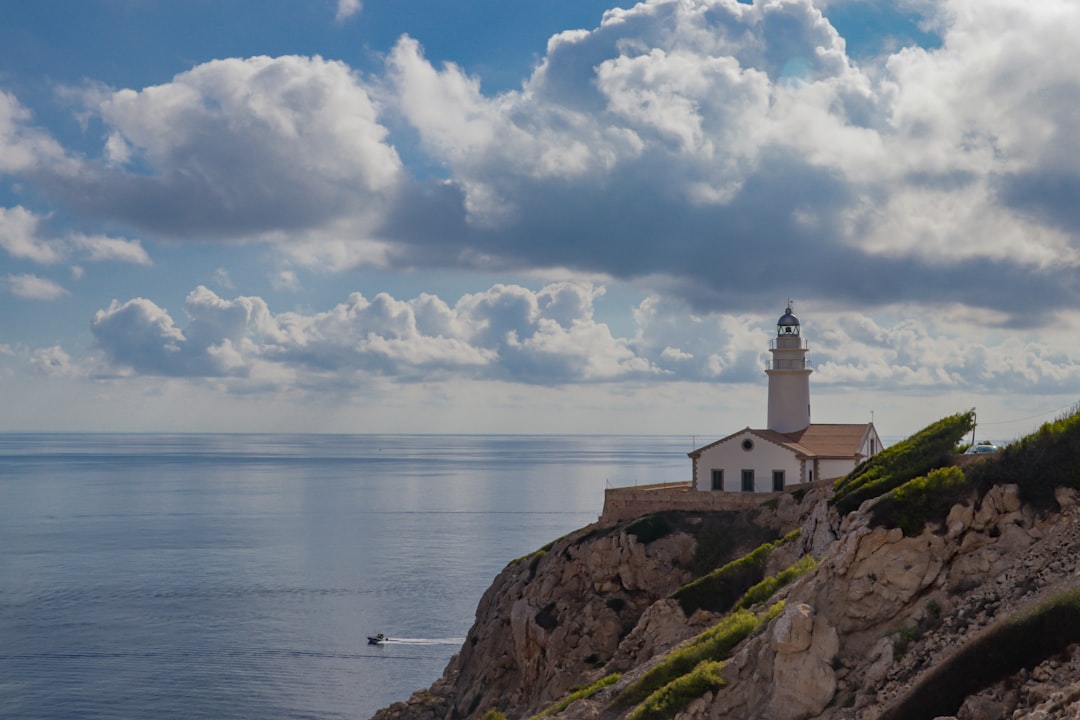

The white tower stands out against a sky that changes mood every hour, while below it the waters of the Atlantic and Indian Oceans mix in an eternal whirl of currents. The Cape of Good Hope Lighthouse is not just a light signal for navigators: it is a physical point where the geography of the planet is felt with rare force, where the cliffs drop steeply for dozens of meters and the wind blows with an almost hostile consistency.
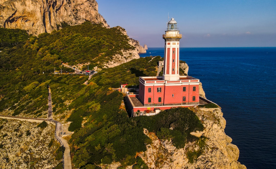
Located within the Cape Point Nature Reserve, part of the Table Mountain National Park, this lighthouse rises on one of the most dramatic headlands of southern Africa. The current structure was built in 1919, after the original lighthouse — positioned too high on the cliff, often shrouded in fog — proved ineffective in guiding ships. A lesson learned at a high price, after decades of shipwrecks along this coast that 15th-century Portuguese sailors referred to with reverential fear.
A story of lights and shipwrecks
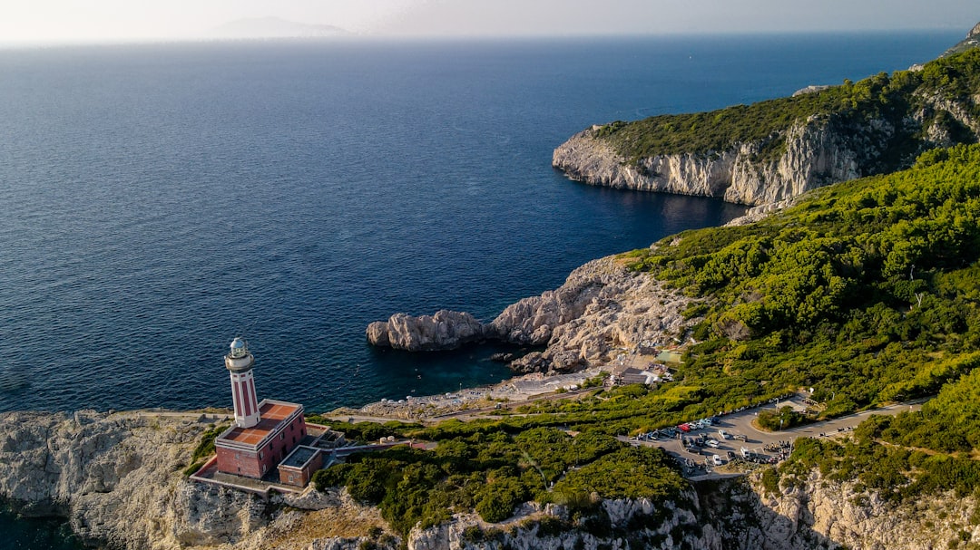
The first lighthouse at the tip of Cape Point was erected in 1860, about 238 meters above sea level. The idea seemed logical: the higher the signal, the farther it could be seen. But the frequent low fogs that envelop the peninsula made that light invisible just when it was needed most. The shipwreck of the steamship Lusitania in 1911 — not the transatlantic liner sunk in war, but another ship of the same name — tragically demonstrated the inadequacy of the old lighthouse. That disaster prompted the authorities to build a lower and more functional structure, at only 87 meters above sea level, operational since 1919 and still active today.
Climbing the steps of the old decommissioned lighthouse — accessible by foot or by a paid funicular that departs from the main ticket office — one can closely observe the original cast-iron lantern, preserved as a testament to an era when maritime engineering sought empirical solutions to deadly problems. The view from the top of the old lighthouse embraces a breathtaking panorama: to the left the Atlantic, to the right the Indian, and below the vertical cliffs that plunge into the sea with an almost architectural verticality.
What to see and what to expect
The path leading to the lighthouse crosses a patch of fynbos, the endemic shrub vegetation of the Cape, with its wild proteas and rooibos growing spontaneously among the rocks. In the southern spring — between August and October — the blooming transforms the trail into a corridor of colors. Along the way, it is common to encounter Cape baboons, wild animals accustomed to human presence but that can become aggressive if one attempts to feed them: the signs in the reserve insistently remind visitors of this, and park rangers actively monitor.
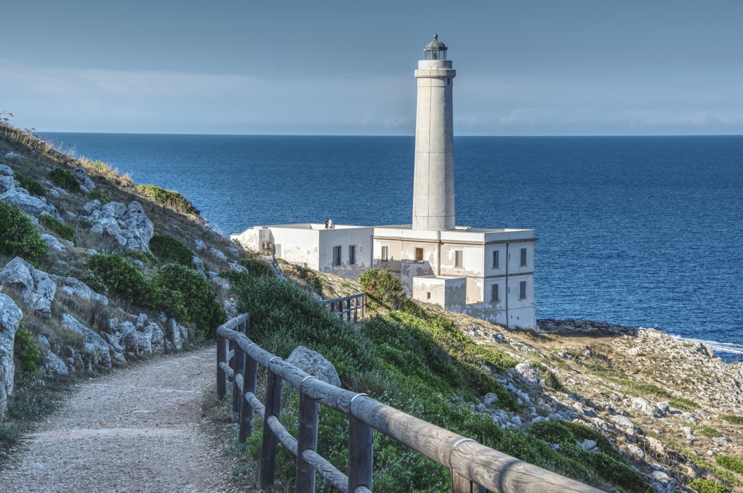
From the viewpoint next to the new lighthouse, the operational one from 1919, one can observe the phenomenon of contrasting currents: on windy days, the surface of the sea visibly shows the lines where masses of water of different temperatures meet, creating foam and whirlpools. It is not uncommon to spot southern right whales between July and November, or dolphins riding the waves offshore.
How to organize the visit
Entry to the Cape Point Nature Reserve is included in the ticket for the Table Mountain National Park. For foreign visitors, the cost is around 350-400 South African rand (about 17-20 euros at the current exchange rate), subject to seasonal variations. The internal funicular that takes you to the old lighthouse has an additional cost of about 90 rand round trip and is worth the expense, especially if you want to avoid the uphill walk on paths exposed to the wind.
The most useful advice for those planning the visit is to arrive by 9 in the morning, before the tour buses from Cape Town drop off hundreds of visitors at the same time. The reserve opens at 7:00 AM and the first two hours are the quietest, with the morning light illuminating the cliffs from the east and making photographs particularly effective. Avoid weekends between December and January, when local attendance adds to international visitors and parking fills up quickly. From Cape Town, Cape Point is about 70 kilometers away and can be easily reached by car along Chapman's Peak Drive, a scenic coastal road that is already part of the experience.
The symbolic weight of a geographical location
There is something physically perceivable in standing on this promontory that goes beyond the landscape. For centuries, Cape of Good Hope has represented the boundary between the known and the unknown for European navigators circumnavigating Africa. Bartolomeu Dias was the first to round it in 1488, initially calling it the Cape of Storms. It was King João II of Portugal who renamed it with the current, more reassuring name, laden with commercial promises towards the East Indies.
Today, the lighthouse from 1919 continues to flash every night, invisible to most but still necessary for the ships passing through these busy waters. Watching it during the day, with the choppy sea below and the wind pushing the clouds at surprising speeds, is a concrete reminder of how much this corner of the planet has weighed in the history of global navigation.


