
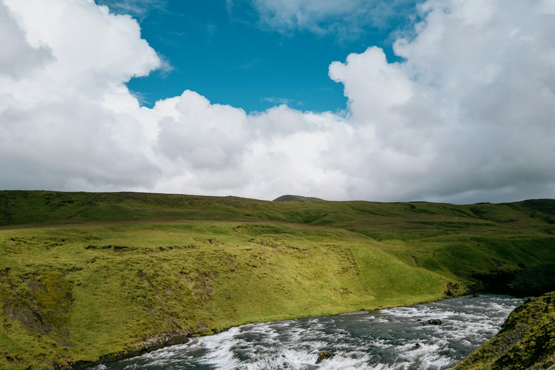

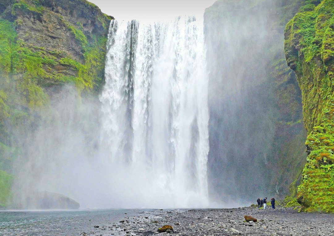
The trail starts from Skógar, in the south of Iceland, with the constant sound of water accompanying every step from the very first meters. The famous Skógafoss waterfall, about 60 meters high and 25 meters wide, is the gateway to this path: you ascend alongside its wall of water on a metal staircase fixed to the rock, and even from there, it is clear that the landscape will change radically with the gain in altitude.
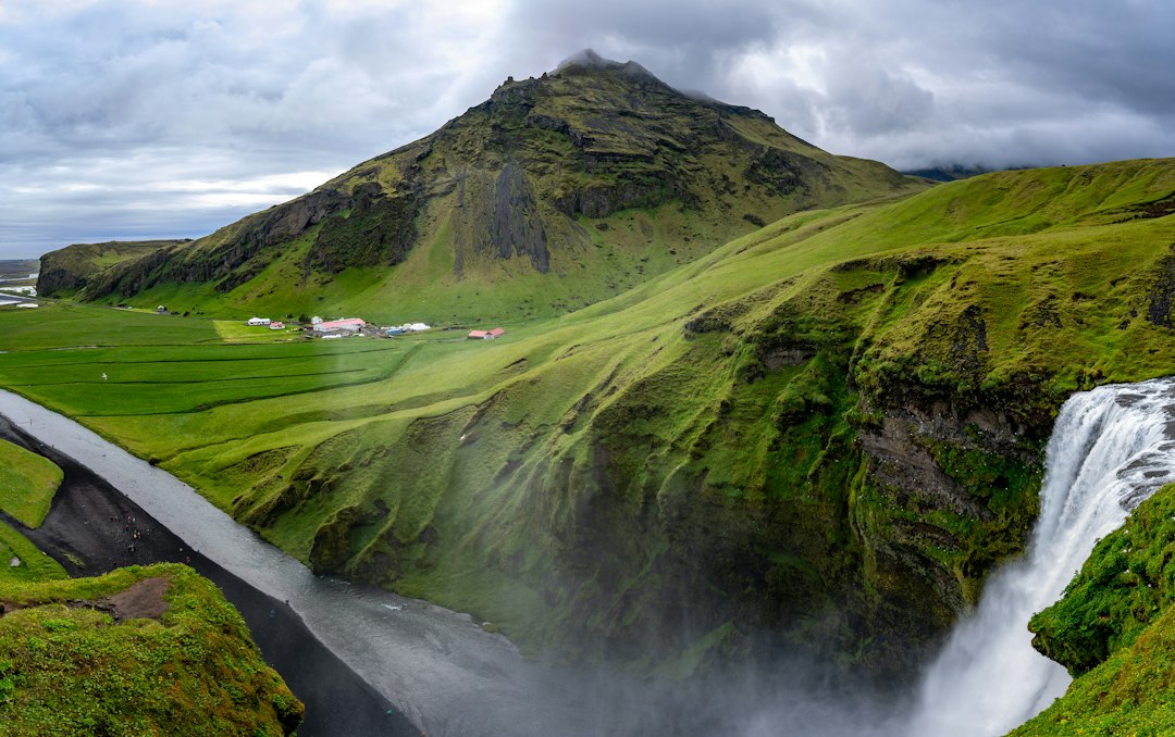
The Fimmvörðuháls is the mountain pass that connects Skógar, to the south, with the valley of Þórsmörk to the north, crossing a plateau situated between two of the most famous glaciers on the island: Eyjafjallajökull to the west and Mýrdalsjökull to the east. The complete route measures about 25 kilometers and takes between 8 and 12 hours of walking, depending on the pace and weather conditions. It is not a trail for beginners, but it does not require specialized mountaineering equipment in the summer season.
The path: from the waterfalls to the volcanic plateau
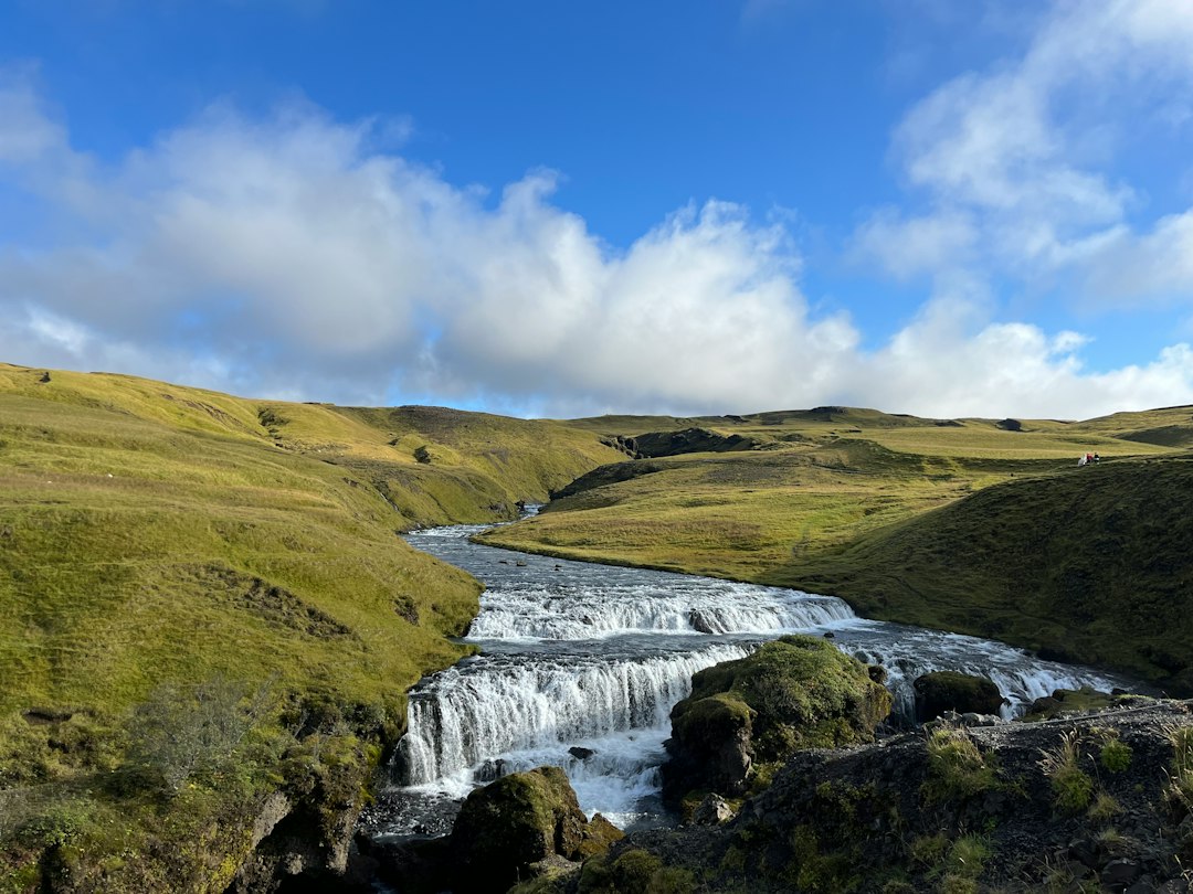
After Skógafoss, the trail ascends along the canyon of the Skógá river, alongside a sequence of over twenty minor waterfalls that plunge from dark basalt walls. Some are thin threads of water falling from dozens of meters, while others are wider and noisier curtains. The chromatic contrast between the bright green of the moss, the black of the volcanic rock, and the white of the water is one of the most immediate visual elements of the first stretch.
As you ascend, the vegetation gradually thins out. Around 700-800 meters in altitude, the first persistent snowfields appear, even in the height of summer. The landscape opens up, and on clear days, the glacier cap of Eyjafjallajökull becomes visible to the left of the path. It is the same volcano whose eruption in April 2010 disrupted European air traffic for weeks: an event that has left physical traces still visible on the ground.
The lava fields of 2010: a still young landscape
The most extraordinary section of the trail is the one that crosses the lava fields produced by the eruption of 2010. Between March 20 and April 12 of that year, a fissure vent opened at the pass itself, generating two new craters named Magni and Móði, after the names of two sons of the god Thor in Norse mythology. The lava that emerged solidified, forming a rugged plateau of dark basalt rock.
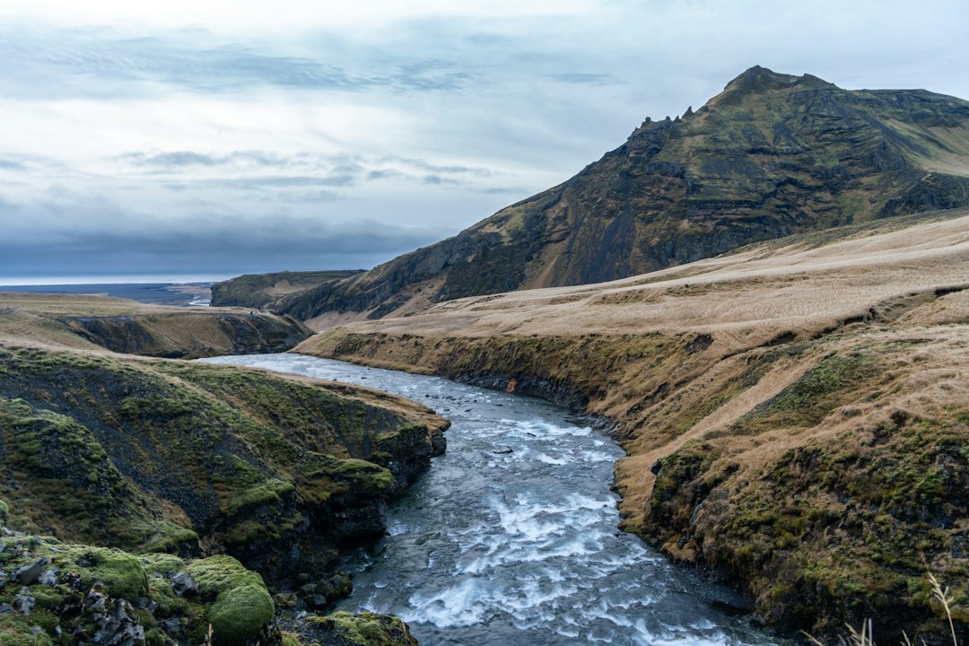
Walking on this surface, one can still feel the residual heat in some areas, and in certain spots, sulfurous vapors rise from the ground. The smell is unmistakable: sulfur mixed with cold high-altitude air. The lava from 2010 is easily distinguishable from the older rock due to its darker color and more jagged texture, almost glassy in some sections. This is one of the few trails in the world where one literally walks on land that formed less than fifteen years ago.
What to bring and when to go
The ideal seasonal window for traversing Fimmvörðuháls is from June to September. In winter and spring, the pass is often covered by deep snow, and conditions can become dangerous without specific equipment and experience in winter alpine environments. Even in summer, Icelandic weather changes rapidly: starting out with a clear sky does not guarantee returning dry.
It is essential to bring waterproof layered clothing, sturdy-soled hiking shoes, enough food and water for the entire day. There are no equipped shelters along the route, although there are some facilities in Þórsmörk where you can stay overnight if you want to make the journey in two days. The starting point from Skógar is accessible by car via Route 1, the Icelandic ring road, to the exit for Skógar, about 150 kilometers east of Reykjavík. There is also a seasonal bus service connecting the capital with Skógar.
The Arrival at Þórsmörk and the Return
Those who walk the trail in its entirety arrive in the valley of Þórsmörk, a protected area surrounded by three glaciers and traversed by glacial rivers. From here, it is not possible to return to Skógar on foot in a day: it is necessary to book a ride with the off-road buses that operate in the area, or to arrange private transportation. Many hikers choose to retrace their steps back to Skógar, reducing the route to a partial round trip to the craters of 2010.
The Fimmvörðuháls is also the first section of the longer Laugavegur, one of the most famous treks in Iceland that extends for about 55 kilometers to Landmannalaugar. Those who want to tackle only the pass without continuing further can consider the arrival point at the Magni and Móði craters as a sufficient goal for an intense and memorable day.


